Don’t have an account? Sign up
Don’t have an account? Sign up
Search by coordinates, address, or Google Map link to access over 50+ parcel data points
Example: 41.40338, 2.17403
Access precise zoning codes and building regulations to streamline your project planning.
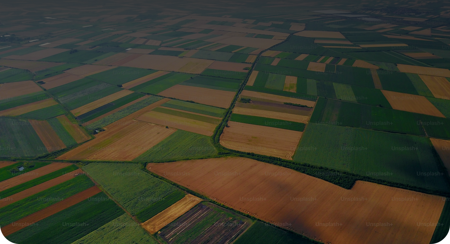
View accurate land measurements, including boundaries, shapes, and square footage, essential for architectural designs.
Get insights on potential building opportunities and site-specific constraints to save time and resources.
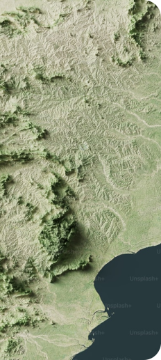
Use interactive maps to visualize plot locations, terrain, and proximity to key infrastructure.